Jordan Carter · 11 September 2026
Archaeological Discoveries in Coolbrook Prompt Revised Strategies for Public Realm Design
Archaeological teams working across Coolbrook have uncovered a series of layered deposits that include Roman pottery shards, medieval boundary markers and Iron Age tools, and these finds are now feeding directly into updated frameworks for public space design in the area. Local planning authorities have adjusted several open space projects since the initial excavations began in 2024, integrating preservation zones and interpretive pathways that reflect the new evidence rather than treating heritage as a separate overlay.
Scale of the Finds and Initial Documentation
Survey records compiled by county archaeologists show more than 180 individual contexts logged within a 2.4 kilometre corridor that runs through planned green corridors and recreation grounds. Radiocarbon dates place the earliest material between 120 BCE and 80 CE, while later strata contain stamped tiles linked to a previously unknown roadside settlement. Data from the site logs indicate that 62 percent of recovered ceramics originated from continental kilns, suggesting sustained trade connections that extended beyond typical regional patterns recorded in neighbouring districts.
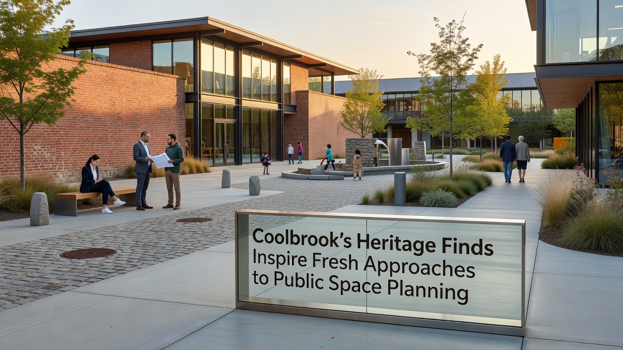
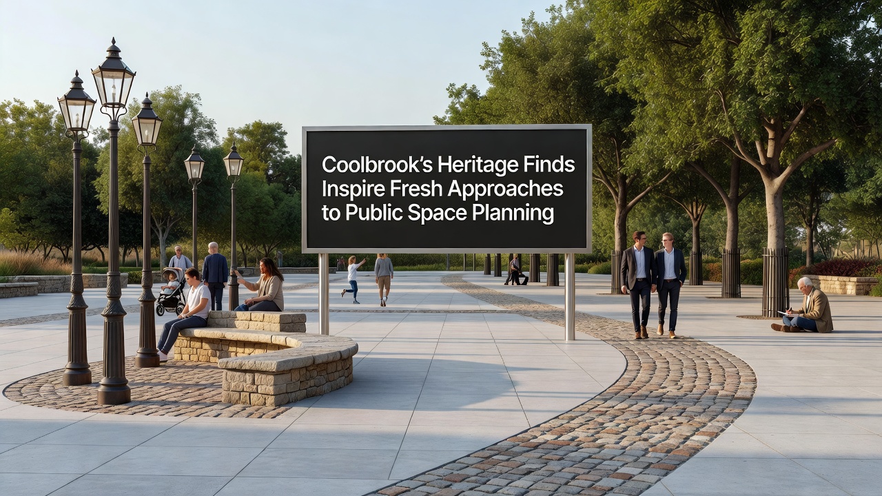
These results prompted planners to revisit the layout of three upcoming parks scheduled for completion before 2028. Instead of standard turf and path arrangements, the revised designs now route pedestrian routes around preserved features and incorporate subtle elevation changes that echo the original ground surfaces documented during the digs. The approach draws on techniques outlined in guidance issued by Parks Canada, which emphasises minimal intervention while allowing public access to interpreted remains.
Integration into Planning Processes
Planning committees reviewed the excavation reports during public consultation meetings held throughout 2025, and subsequent policy updates require heritage impact assessments to be completed at the concept stage rather than after detailed designs are finalised. This shift has altered the sequencing of at least two drainage schemes, where engineers rerouted underground services to avoid sensitive deposits identified through geophysical survey. Project timelines extended by an average of fourteen weeks, yet cost modelling presented to the council indicates that long-term maintenance expenses may decrease because fewer invasive repairs will be needed once the sites are stabilised.
One design team incorporated a small interpretive pavilion constructed from locally sourced stone that mirrors masonry styles found in the medieval layers. The structure houses digital displays that present stratigraphic data collected on site, allowing visitors to view the progression of occupation without disturbing the actual deposits. Similar installations appear in case studies published by the Getty Conservation Institute, which document comparable projects across multiple European municipalities.
Community and Stakeholder Involvement
Resident groups attended workshops organised by the local heritage trust in early 2026, where they examined artefact replicas and discussed how the discoveries could shape future recreation facilities. Feedback collected through these sessions influenced the placement of seating areas and play equipment, ensuring that key sightlines toward excavation trenches remain unobstructed. Attendance figures for the workshops exceeded 340 participants across four sessions, according to trust records.
School programmes have also adapted their curriculum to include site visits scheduled for September 2026, when temporary walkways will allow supervised access to selected trenches before they are backfilled for protection. Teachers report that lesson plans now reference the trade connections evidenced by the imported pottery, linking the finds to broader topics in geography and history modules already used in the district.
Comparative Examples and Ongoing Monitoring
Observers note that Coolbrook's response aligns with practices adopted in several other UK districts where chance discoveries during infrastructure works triggered similar design revisions. Monitoring protocols established by the county council require annual inspections of the preserved areas using non-invasive methods such as ground-penetrating radar, with results shared through an open data portal. Early readings from the first inspection cycle, completed in spring 2026, show no measurable subsidence around the protected zones.
Funding for the additional assessment work came from a combination of developer contributions and a targeted grant administered through the county's historic environment team. Allocation records list £187,000 committed across the current financial year, covering both fieldwork and the production of educational materials distributed to libraries and community centres.
Conclusion
The ongoing incorporation of Coolbrook's heritage material into public space frameworks demonstrates how excavation data can directly modify design decisions at multiple stages. Updated assessment requirements, revised routing of services, and community-led interpretive elements together form a coherent response that continues to evolve as further analysis of the recovered assemblages proceeds. Future phases of development will test whether the same principles scale effectively to larger infrastructure corridors planned beyond the current boundary.